
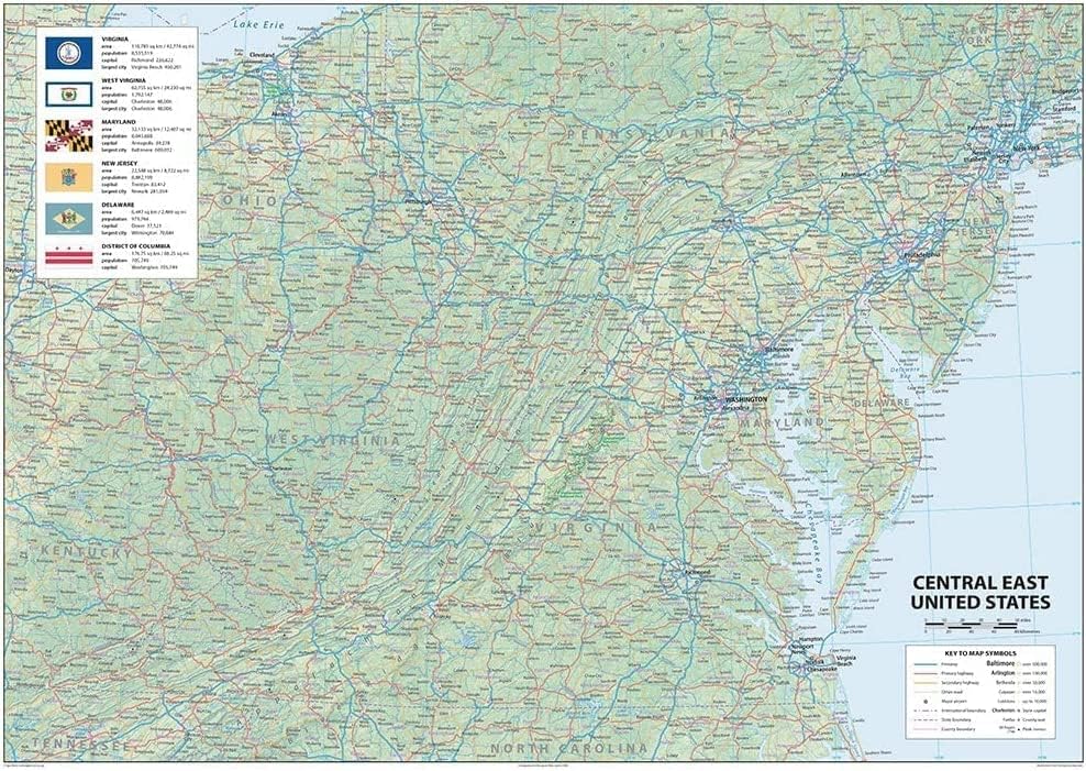
Central East United States Physical Wall Map - 24 x 17 inches – Paper Laminated
US$9.60
Price when purchased online
Free shipping
Free 30-day returns
Sold and shipped by legart.de
We aim to show you accurate product information. Manufacturers, suppliers and others provide what you see here.
Product details
| Management number | 231750912 | Release Date | 2026/06/18 | List Price | US$9.60 | Model Number | 231750912 | ||
|---|---|---|---|---|---|---|---|---|---|
| Category | |||||||||
This attractive wall map of the North Eastern States of Virginia, West Virginia, Maryland, New Jersey, Delaware and The District of Colombia is a must for the school room, home and Office. The map includes each states Capital, Largest City, Total Area and Population. Plus Freeways, Primary and Secondary Highways. International, State and County Boundaries and Major Airports. Size - 24 x 17 inches Printed onto high-quality paper and laminated for durability.
| ASIN | B09YRZ8Y49 |
|---|---|
| Color | Multi |
| Map Type | Physical |
| Brand Name | Tiger Moon |
| Paper Size | 24 x 17 inches |
| Part Number | Caribbean-A2 |
| Manufacturer | Tiger Moon The Tiger Moon Trading Company Ltd |
| Model Number | Caribbean-A2 |
| Paper Finish | Coated |
| Item Dimensions L x W | 17"L x 24"W |
Bestseller ranking
Folk & Regional




Customers who viewed this product also viewed
Posters & Prints




Correction of product information
If you notice any omissions or errors in the product information on this page, please use the correction request form below.
Correction Request Form